Mumbai rain: What's stopping monsoon from entering the city
A powerful Arabian Sea anticyclone has disrupted the Southwest Monsoon, leaving Mumbai dry despite the season being well underway. The system is expected to weaken in 48 to 72 hours, but significant rains are still a few days away.
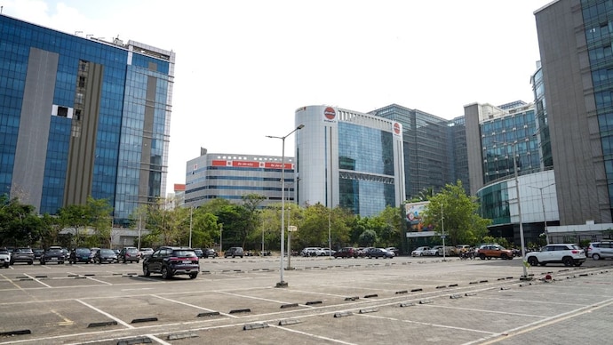
Mumbai should be soaking right now. The Southwest Monsoon has already swept up the west coast, and yet the city sits dry, sticky, and confused. Blame it on a bully in the Arabian Sea.
A strong anticyclone, basically a dome of high pressure spinning clockwise over the Arabian Sea, has shoved its way into the picture and disrupted the usual monsoon machinery. The good news? It will not last.
WHAT IS GOING ON UP THERE?
Every June, India's Southwest Monsoon rolls in like clockwork. Warm, moisture-laden winds race northward from the Indian Ocean, hugging the Arabian Sea, before slamming into the Western Ghats mountain range that runs along India's west coast.
The Ghats force this moist air upward, where it cools and condenses into the heavy, dramatic downpours Mumbai is famous for.
But right now, that pipeline is blocked.
The culprit is an anticyclone, a high-pressure weather system sitting over the Arabian Sea. Inside an anticyclone, air does not rise. It sinks. And sinking air is bad news for rain. As air descends, it gets compressed by atmospheric pressure, which warms it up.
Warmer air can hold more moisture without releasing it, so instead of clouds forming and raining down, the air simply dries out. Meteorologists call this process adiabatic warming, and its effect on rainfall is devastating.
The anticyclone is also pumping dry air inward from West Asia, a notoriously arid region. This dry intrusion is essentially suffocating the monsoon's moist underbelly, weakening the southwesterly winds that carry rain to Mumbai.
The moisture-starved atmosphere over the city cannot support the deep cloud towers needed for heavy rainfall.
Weather scientists call this a break phase, a temporary pause in the monsoon when dry conditions take over despite the season being well underway. Break phases are a known, recurring feature of the Indian monsoon, though they can feel alarming when Mumbai sits parched in June.
WHEN WILL IT RAIN AGAIN?
The anticyclone is expected to weaken over the next 48 to 72 hours. These systems are transient, meaning they are not built to last. The relentless heating of India's landmass, which drives the monsoon in the first place, steadily reasserts itself.
As the high-pressure system dissolves, the southwesterly monsoon winds will gradually push back, moisture will rebuild in the atmosphere, and rainfall will return.
However, significant Mumbai rains are still a few days away even after the anticyclone retreats. The atmosphere needs time to moisten back up, recover its instability, and organise the conditions that trigger heavy downpours.
Think of it as the monsoon catching its breath before the next punch. When it hits, Mumbai will know.