
Satellite captures rain clouds missing from Central India amid peak monsoon

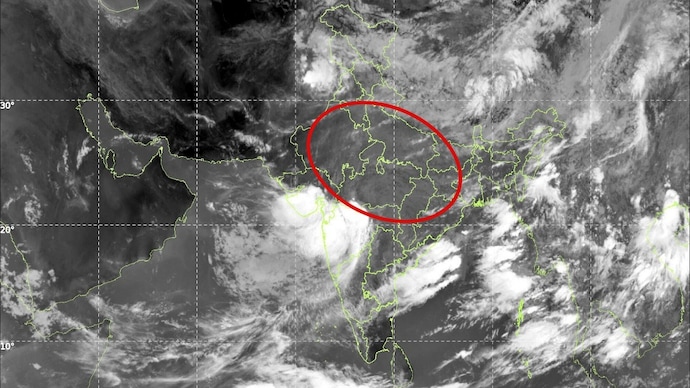
IMD satellite images showed much of central India cloud-free as a monsoon depression spread heavy rain over Maharashtra and moved towards Gujarat. Forecasters said the system will shift rainfall westward and remain the region's dominant weather feature through the weekend.
 Last UpdatedJul 31, 2026 11:21 IST
 Published by
Fresh satellite imagery from the India Meteorological Department (IMD) has revealed a striking contrast across the country, with much of central India appearing largely cloud-free even as a deep monsoon depression unleashes widespread rain over Maharashtra and is set to intensify rainfall across Gujarat.
The INSAT-3DS thermal infrared images captured on Friday morning show a massive cluster of dense convective clouds wrapped around the depression over Vidarbha, while large parts of Madhya Pradesh and adjoining central India remain relatively free of cloud cover.
Meteorologists say this is characteristic of a mature monsoon depression, where the heaviest thunderstorms and rainfall remain concentrated around the system's core and along its western and southern sectors.
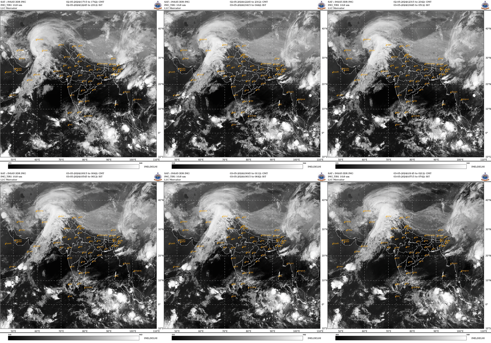
According to the IMD, the depression over east Vidarbha and adjoining west-central Chhattisgarh moved westwards at around 15 kmph during the past six hours and was centred over central Vidarbha and adjoining southern Madhya Pradesh at 5:30 am IST on July 31.
The system was located about 30 km north of Wardha, 60 km west-southwest of Nagpur, 90 km east of Amravati, 130 km south-southeast of Betul and 160 km east of Akola.
The weather system is expected to continue moving west-northwestwards across Vidarbha and adjoining south Madhya Pradesh over the next 24 hours, dragging enormous volumes of moisture inland from the Arabian Sea.
The satellite imagery highlights towering thunderclouds over eastern Maharashtra extending into Gujarat, signalling intense rainfall capable of triggering flash floods, urban inundation and waterlogging.

Heavy to very heavy rainfall is expected across Vidarbha, north Konkan, Madhya Maharashtra, south Madhya Pradesh, east Rajasthan and Gujarat as the depression tracks westward.
Meanwhile, the relative absence of widespread cloud cover over parts of central India does not indicate the end of monsoon activity. Instead, forecasters say rainfall will continue to shift west with the movement of the depression, bringing fresh spells of heavy rain to regions lying directly in its path.
The system is expected to remain the dominant weather feature over central India through the weekend, sustaining active monsoon conditions across western India while redistributing rainfall after weeks of uneven monsoon activity across the country.