
Is monsoon back? Satellites show 50% of India covered in rain clouds
After days of humid heat, satellite images are now showing a optimistic shift over India. What's driving the sudden change, and what could it mean for the rest of the monsoon season?
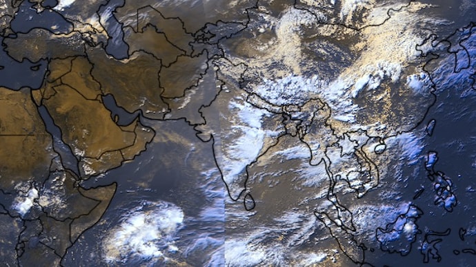

After a worrying dry spell that left vast stretches of the country under clear skies, rain and thunderstorms have made a strong comeback.
Recent satellite images now show 50-60% of India covered by monsoon clouds or active weather systems, delivering much-needed relief to some parts of the country, while others are expected to experience monsoon rain soon.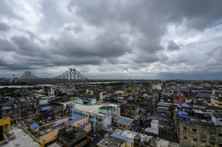
WHY DID THE RAIN PAUSE?
Just days ago, the picture looked very different.
On July 11, satellite images captured nearly 70-80% of India with little or no rain-bearing clouds. This sudden lull followed heavy rains in early July and came shortly after the southwest monsoon had officially covered the entire country on July 9.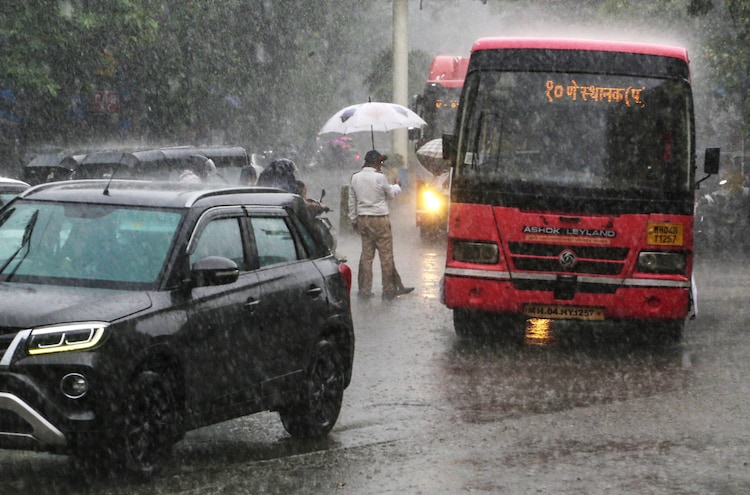
Experts explained that a powerful tropical cyclone over the western Pacific Ocean was pulling moisture and atmospheric energy far away from India.
This weakened the monsoon trough, which is a key low-pressure belt that normally draws moisture-laden winds from the Indian Ocean across the subcontinent.
As a result, rainfall dropped sharply in many areas, even though the monsoon season was well underway.
The India Meteorological Department (IMD) had forecast subdued activity in central and peninsular regions during this phase.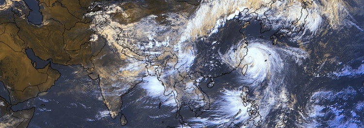
AN UNEVEN MONSOON SO FAR
The 2026 monsoon season had a bumpy journey from the beginning.
The weather system reached Kerala on June 4 but soon stalled.
Later on, June turned out to be one of the driest in over a century, with rainfall deficits reaching 40-46% at times.
Large parts of central, western, and northern India stayed unusually dry, raising concerns for farming and water supplies.
Heavy showers in late June and early July helped reduce the nationwide deficit to around 14%.
Maintaining the momentum, the monsoon completed its geographical spread across India, but rainfall remained uneven, with some central states still lagging.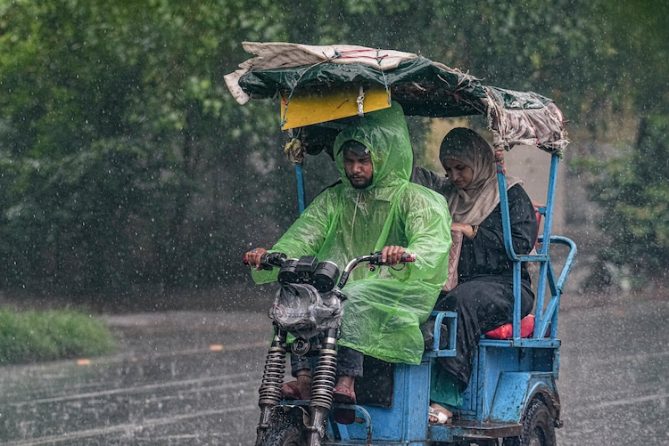
IS MONSOON BACK?
The current burst of thunderstorm activity signals the monsoon is regaining strength.
Visible cloud cover and lightning strikes now stretch across many regions, especially in the north and east. This shift brings hope for steadier rains in the coming days.
While a developing El Nino in the Pacific continues to be watched for possible longer-term effects, the immediate focus is on how quickly normal circulation returns.
For now, the return of clouds and rain offers news of incoming relief after the recent lull and subsequent humidity and heat that followed.