Cyclone Akvan makes landfall: Could it lead to rain in North India?
Cyclone Akvan made landfall between southern Odisha and Andhra Pradesh on Friday. Its influence may bring eastern India rain while altering winds across parts of North India.

A Western Disturbance is a weather system that originates over the Mediterranean region and travels eastward toward India, bringing rain, thunderstorms and snowfall to large parts of North India. The India Meteorological Department (IMD) closely monitors these systems because they play a major role in shaping winter and early summer weather across the country.
Unlike the southwest monsoon, Western Disturbances are non-monsoonal weather systems driven by strong westerly winds in the upper atmosphere. These extratropical storms gather moisture mainly from the Mediterranean Sea, Black Sea and Caspian Sea before moving toward South Asia.
When a Western Disturbance reaches India, it affects states such as Jammu and Kashmir, Himachal Pradesh, Uttarakhand, Punjab, Haryana, Delhi, Rajasthan and western Uttar Pradesh. The system brings cloudy skies, rain, thunderstorms and hailstorms, while higher Himalayan regions often witness heavy snowfall.
These weather systems are especially important for agriculture. Winter rainfall caused by Western Disturbances provides crucial moisture for rabi crops such as wheat, mustard and barley. They also help break prolonged heat spells during summer months and influence temperature patterns across the Indo-Gangetic plains.
However, strong Western Disturbances can also trigger severe weather events. Heavy rainfall may lead to waterlogging, flash floods, landslides and crop damage, while intense snowfall in the Himalayas can block roads and increase avalanche risks. In some cases, they are also linked to cold waves and dense fog in North India.
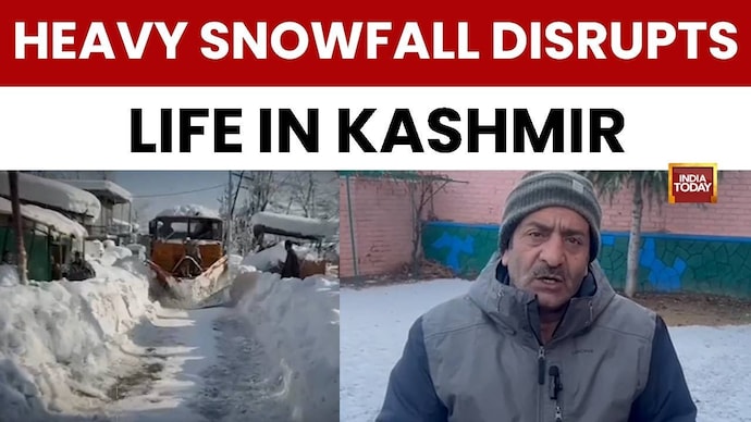
Recent snowfall in Kashmir Valley has led to a significant temperature drop. A new western disturbance will bring more snow and rain to the region, signalling severe winter conditions.
Delhi’s air quality improved in early November with no severe days recorded for the first time since 2015. This allowed schools to return to in-person classes after Stage III restrictions were lifted.
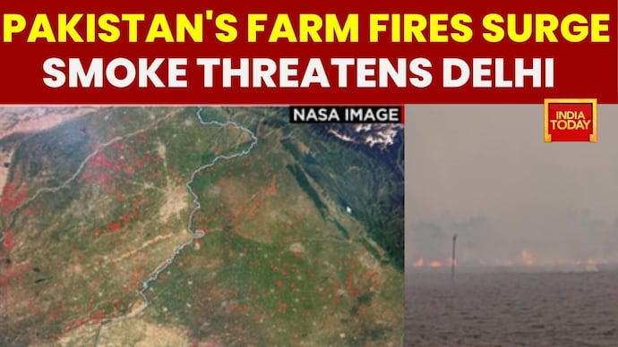
NASA satellite images and Pakistani media reports reveal a surge in farm fires across the border in Pakistan, recording 4.2 times more crop fire detections. Till the end of October, over 30,000 farm fires were reported in Pakistan, compared to just over 1,600 cases in Indian Punjab, where border districts like Tarn Taran and Amritsar lead the tally. Northwestern winds and western disturbances are expected to carry heavy smoke across Punjab, Haryana, and the Indo-Gangetic Plains towards Delhi NCR, exacerbating air quality during the festive season. Despite measures by state governments in Punjab and Haryana, including red entries, FIRs, and equipment distribution, stubble burning on both sides of the border continues to affect Delhi NCR's Air Quality Index.
Delhi's air quality slipped into the poor category following Dussehra celebrations, renewing debate over primary pollution sources in the National Capital Region. While political accusations pointed towards stubble burning in Punjab and Haryana, research from the Indian Institute of Technology Delhi shows that firecrackers during festive seasons contribute significantly more to immediate toxic elemental PM2.5 levels than farm fires. Analysis indicates farm fires reached a five-year low, yet toxic air worsened due to fine particles, soot, and metals from fireworks alongside persistent vehicular emissions, industrial discharge, and road dust. Compounding the situation are seasonal meteorological factors, including falling temperatures, weak winds, and an El Niño pattern that limits unseasonal rain and western disturbances, preventing the dispersal of pollutants. In response, authorities have enforced Graded Response Action Plan Stage 1 measures across Delhi NCR, imposing restrictions on coal and wood stoves and mandating water sprinkling and covering of raw materials at construction sites.
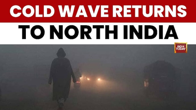
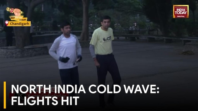
On this Special Report, India Today’s Aman Bhardwaj reports on the intensifying cold wave across North India following fresh snowfall in the higher reaches. The plunge in temperatures has led to dense fog in the plains, significantly reducing visibility in Chandigarh and surrounding areas. Aman Bhardwaj notes that 'Himachal Pradesh road connectivity and electricity or the water supply have been affected in several areas' while Punjab and Haryana face a return of severe cold conditions. Minimum temperatures have dipped to 5 to 6 degrees Celsius in regions including Bathinda, Ludhiana, Amritsar, and Sirsa. The Meteorology Department has advised citizens to wear warm clothes and remain cautious as a new western disturbance is expected on 27th January, which is likely to make weather conditions even more severe. The report highlights the impact of the chilly weather on daily life and infrastructure across the Shivalik hills and the northern plains.
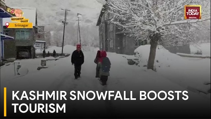
On this Special Report, correspondent Ashraf Wani provides an update on the severe weather conditions across the Kashmir Valley and Ladakh. Following heavy snowfall on Thursday and Friday, temperatures in Srinagar plummeted to -6 degrees Celsius at night. Wani notes that 'The fresh snowfall has set stage for these ongoing Winter Games in Leh-Ladakh' under the Khelo India initiative, but the weather has caused significant logistical hurdles elsewhere. The Jammu-Srinagar highway, Mughal road, and Srinagar-Kharagpur highway remain closed, effectively cutting off the region by road. While electricity has been partially restored in Srinagar, many hilly areas remain without power due to damaged infrastructure. The Met Department warns of a new western disturbance entering the system on Monday, bringing another spell of heavy snowfall to the region. The report highlights the dual nature of the season, benefiting winter sports while severely disrupting daily life and essential services for residents.
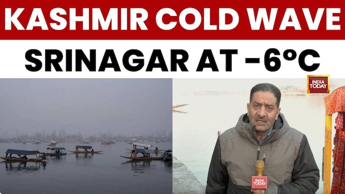
In this special report, the focus is on the severe cold wave that has gripped the Kashmir valley. Sunday night was recorded as the season's coldest in Srinagar, with the temperature dropping to minus 6 degrees Celsius. The report highlights that other areas, especially the hill stations of Kashmir, are experiencing even more extreme conditions with temperatures falling to between minus 8 and minus 12 degrees. The speaker notes that 'The second coldest habitat of the earth, Dras area of the Kargil has witnessed minus 25 degree temperatures during the night.' According to the Meteorological department, this cold wave is expected to continue, with a new western disturbance likely to bring more snowfall to both hilly and plain areas of the valley after January 19.
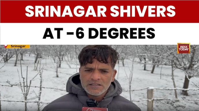
This special report from Srinagar details the intense cold wave gripping the Kashmir valley, with temperatures plummeting to -6 degrees Celsius on Saturday night, the coldest of the season so far. According to the Met department, the extreme cold is expected to continue for the next few days across Kashmir and northern India, driven by heavy snowfall in hilly areas. A resident describes the local experience with the cold: 'It is very cold... it is -6 degrees today.' The report indicates a potential change in weather after January 13th, with an incoming western disturbance expected to bring the first snowfall of the season to the plains of the valley.
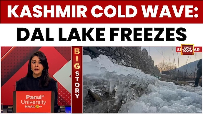
A severe cold wave has gripped Kashmir, with temperatures dropping significantly across the region. This special report details how the South Kashmir town recorded a minimum temperature of -6.2 degrees, marking one of the coldest nights of the season. The extreme cold has caused parts of the famous Dal Lake in Srinagar to freeze. Tourist destinations like Gulmarg and Pahalgam saw temperatures drop to nearly -10 degrees, while Dras recorded a freezing -25 degrees. According to the Indian Meteorological Department (IMD), these harsh conditions are expected to 'persist till the 20th of January'. A new western disturbance is anticipated after January 13th, which may bring the first snowfall of the season to the plains, offering some hope to local farmers for its benefits to fruit trees and water resources.
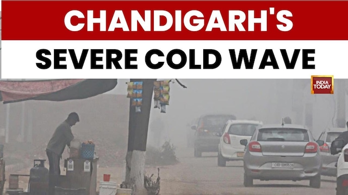
In this special report, India Today’s Kamaljeet Sandhu provides an on-ground update from Chandigarh as severe cold wave conditions grip the region. Temperatures have plummeted, leading residents to gather around tea stalls and bonfires to stay warm. Sandhu notes that 'Cold wave conditions exist as the temperatures plummet', with people layering up in jackets and shawls, especially at transit hubs like the Sector 43 bus stand. The report highlights that while fog is less dense on city roads, it remains thick on national and state highways across Punjab and Haryana. The Air Quality Index (AQI) in the city is currently recorded at a moderate 131. According to the report, the winter chill is expected to peak around the 9th and 10th of January, with potential relief only anticipated after the festival of Lohri. A slight western disturbance is cited as the primary cause for the prevailing weather conditions, which continue to impact daily life in the tri-city area and surrounding states.
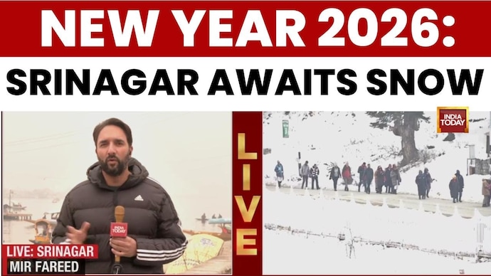
In this ground report, India Today correspondents capture the contrasting New Year moods in Srinagar and Thiruvananthapuram. The reporter in Srinagar notes a 'subdued' atmosphere at Dal Lake as Kashmir awaits its first major snowfall to boost tourism. While Gulmarg sees crowds, Srinagar remains 'calm and quiet' with Shikaras back in the lake. Meanwhile, in Thiruvananthapuram, the correspondent reports a 'heavy rush' at the Padmanabhaswamy Temple, with tourists like Divakar from Delhi preferring 'spiritual temple visits' over parties. The report highlights a trend among youth choosing temples over clubs. Additionally, the broadcast details traffic restrictions in Fort Cochin and extended operating hours for public services like the Water Metro and beer parlors in Kerala.
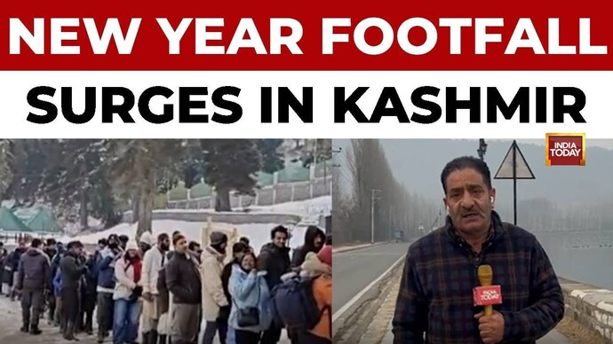
On this Special Report, India Today Correspondent Ashraf Ghani provides an update on the changing weather scenario across Jammu & Kashmir and Ladakh. Ghani reports that 'a fresh snowfall is expected from today afternoon' in most parts of the valley. The Met Department has predicted that Srinagar city may witness its 'first season snowfall in coming two days'. The report also highlights that thousands of tourists have arrived in the Kashmir Valley to celebrate the New Year. The weather shift is expected to bring a fresh cold wave and increased fog across northern India.
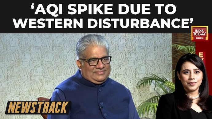
In this exclusive chat, Union Environment Minister Bhupender Yadav addresses the discrepancy between his Rajya Sabha statement regarding Delhi's Air Quality Index (AQI) and recent data showing severe pollution levels. While Yadav had stated that the AQI had not crossed 450 in 2025, CPCB data revealed it hit 461 on December 14. Clarifying his stance, Yadav says, 'Jis din maine yeh bayan diya tha us din tak AQI 450 ke upar nahi kiya tha' (Until the day I gave that statement, AQI hadn't crossed 450). He attributes the sudden spike to 'anthropocentric activity' and weather conditions like Western Disturbances causing zero wind velocity. The Minister also discusses the role of the Commission for Air Quality Management (CAQM) in coordinating pollution control measures across Delhi-NCR.
In this news bulletin, India Today anchor Akshita Nandagopal and reporter Milind Sharma discuss the Delhi government's decision to revoke GRAP-4 restrictions following a marginal improvement in air quality. Sharma reports that the Air Quality Index (AQI) dropped to the 'poor' category in the 270s, attributed to a western disturbance and higher wind speeds. However, he warns that this relief may be temporary, predicting weather conditions will deteriorate again around December 27 and 28. The discussion highlights the 'seesaw approach' of the Commission for Air Quality Management (CAQM), criticizing the reactive nature of imposing and lifting bans instead of maintaining consistent measures throughout the winter.
In this exclusive interview, Union Minister for Environment, Forest and Climate Change Bhupendra Yadav addresses the controversy surrounding his statement in the Rajya Sabha regarding Delhi's Air Quality Index (AQI). While Yadav claimed that the AQI did not breach the 450 mark in 2025, the interviewer presents Central Pollution Control Board (CPCB) data showing an AQI of 461 on December 14. Defending his stance, Yadav clarifies, 'The day I gave this speech, till that day, I did not go over EQI 450,' attributing the subsequent spike to a 'western disturbance' and stagnant wind conditions. The Minister also discusses the role of the Commission for Air Quality Management (CAQM) and the deregistration of over 1 crore vehicles to combat pollution.
In this exclusive interview, Union Minister for Environment, Forest, and Climate Change Bhupendra Yadav addresses the controversy surrounding his statement in the Rajya Sabha regarding Delhi's Air Quality Index (AQI). While Yadav claimed that the AQI did not breach the 450 mark in 2025, the interviewer presents Central Pollution Control Board (CPCB) data showing an AQI of 461 on December 14. Defending his stance, Yadav clarifies, 'The day I gave this speech, till that day, I did not go over EQI 450,' attributing the subsequent spike to a 'western disturbance' and stagnant wind conditions. The Minister also discusses the 'growing outrage over the Aravalli Hills', the role of the Commission for Air Quality Management (CAQM), and the National Clean Air Programme (NCAP), asserting that 27 cities are now free from air pollution.
This special report highlights the widespread snowfall in the Kashmir Valley, which has brought relief to residents and hope to the tourism industry. An unidentified speaker notes that the snowfall has 'cleared the fog and smog' and 'charged once again the water sources' in the region. Occurring on a Sunday ahead of Christmas and New Year celebrations, the weather event is expected to attract winter tourists. The broadcast emphasizes that while Kashmir is renowned for its winter season, this specific snowfall is particularly significant for clearing pollutants and replenishing vital water bodies. Meanwhile, the Met Department predicts a fresh wave of cold across the plains following this snowfall. The report also captures glimpses of daily life in Srinagar as locals welcome the season's first snow.
In this Special Report, India Today's Principal Correspondent Aman Bhardwaj reports on the severe cold wave and dense fog gripping North India. Bhardwaj highlights that 'Punjab's Varitkot is a city which has observed the minimum temperature at 4.9 degrees'. The report details significant disruptions in Chandigarh, where 33 flights have been cancelled over the last three days due to poor visibility. The reporter also notes that Haryana's Jind recorded a minimum temperature below 5 degrees. The India Meteorological Department (IMD) has issued yellow and orange alerts, predicting western disturbances and continued dense fog in the region. Bhardwaj advises that 'children, old age people are being advised to wear warm clothes' and avoid outdoor activities during early morning and evening hours due to the chilly conditions.
In this news bulletin, the focus is on the deteriorating air quality in Delhi, which remains near the 'severe' category. Delhi Environment Minister Manjinder Singh Sirsa has warned that an approaching western disturbance could further worsen weather conditions. The Minister admitted that GRAP-4 norms are being violated, with construction activities continuing despite the ban. The report also highlights the political blame game, with the Aam Aadmi Party (AAP) accusing the ruling BJP government of inefficiency and violations. A local resident describes the health impact, stating, 'My condition is very bad'.
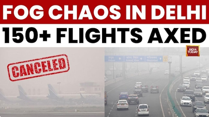
Flight operations at Delhi International Airport have been severely impacted by dense fog, with reports confirming over 150 cancellations. A reporter on the ground states that visibility has dropped to 100 meters or less, grounding many non-CAT III compliant aircraft. The transcript details that 79 departures and 73 arrivals were cancelled, causing significant inconvenience to passengers waiting at the terminal. The Indian Meteorological Department predicts that dense fog conditions will persist across the northwestern region due to western disturbances.