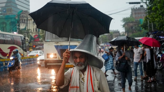
Rain alert: Heavy monsoon downpour over Northeast, North to sizzle in heat
As monsoon arrives in some parts of India, others are forecast to face heatwaves as signs of seasonal transition are beginning to show.
India is set to witness two sharply contrasting weather patterns over the next few days, with the India Meteorological Department (IMD) forecasting heavy to extremely heavy monsoon rainfall across the Northeast even as heatwave conditions continue to grip parts of northern India.
According to the IMD, heavy to very heavy rainfall is likely over Northeast India and Sub-Himalayan West Bengal and Sikkim over the next five days.
Isolated places in Assam, Meghalaya and Sikkim are expected to receive extremely heavy rainfall, raising the risk of flooding, waterlogging and landslides, particularly in vulnerable hilly regions.
The weather office also said conditions remain favourable for the southwest monsoon to advance further into parts of Gujarat, Madhya Pradesh, Chhattisgarh, Jharkhand, Bihar, Uttar Pradesh and Uttarakhand over the next two days, signalling the monsoon's further progress.
NORTH INDIA CONTINUES TO BATTLE HEAT
While monsoon rains intensify elsewhere, much of North India continues to face unusually high temperatures.
The IMD has warned of heatwave to severe heatwave conditions over Uttar Pradesh and adjoining areas during the next two days.
Heatwave conditions are also likely over Delhi, Haryana and Chandigarh on June 29 and 30.
The warning comes after maximum temperatures climbed to 40-43°C across several parts of Uttar Pradesh, Haryana, Bihar and neighbouring states in recent days.
For Delhi-NCR, the IMD has forecast maximum temperatures of 41-43°C on Monday, June 29, along with the possibility of very light to light rain, thunderstorms, dust storms and gusty winds during the afternoon and evening.
Rainfall activity is expected to increase from June 30 onwards, with temperatures gradually falling to 39-41°C on June 30, 36-38°C on July 1 and 34-36°C by July 2 as monsoon conditions strengthen over the region.
The IMD also warned that heavy rain could trigger localised flooding, waterlogging, traffic disruptions, reduced visibility and landslides in susceptible areas.
Thunderstorms accompanied by lightning and gusty winds may also damage trees, power lines and vulnerable structures.
The weather agency has also warned fishermen to not venture into parts of the Arabian Sea and Bay of Bengal because of rough sea conditions.
The latest IMD forecast has made it apparent that the seasonal transition is now underway across northern India, with the advancing southwest monsoon expected to bring relief from prolonged heat.