
From Banni to the Deccan: India must stop treating its grasslands as wastelands

India's grasslands, wetlands and floodplains are increasingly being treated as empty land. The Banni and Rann of Kachchh show why that approach comes with an ecological cost.
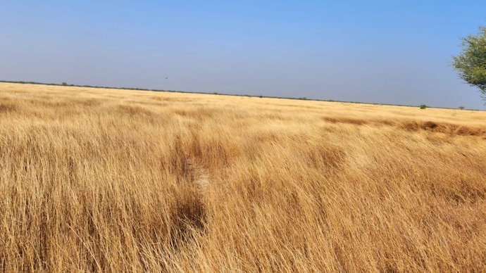

Sarpanch Miya Hussain is with children, teaching them about the changing landscape of the Rann of Kachchh and the Banni grasslands. The world's largest solar plant is under construction in the Rann of Kachchh, adjacent to the Banni grasslands, and is expected to threaten the ecology of the wetlands and the paths of migratory birds.
Banni was declared a “protected forest” in May 1955 and was also listed as a UNESCO ecological hotspot as Asia’s largest tropical grassland.
Spread across 2,500-3,847 square kilometres, Banni’s climate and resilient ecology attract multiple species of migratory birds and account for 45% of Gujarat’s grazing land, particularly for the buffalo milk in this region, popular for its fat content above 7%. Dairy is critical as agriculture fails in the salt-encrusted region along the Indo-Pak border.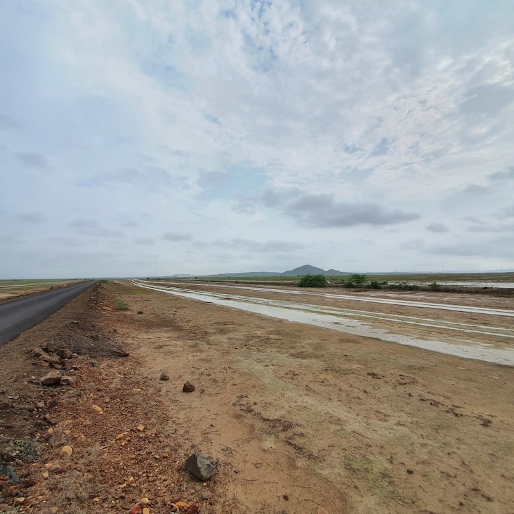
NOT A WASTELAND
For a nation that lost one-third of its fertile land after Partition, not much protection was offered to lands like forests, floodplains, marshes, and grasslands. Mostly unprotected, these open spaces are easy to encroach upon for illegal mining and unplanned development in the race to meet targets for green energy.
For example, Rajasthan cleared 50,000 native Khejri trees for a solar power plant. Water demand at solar plants may surpass drinking water demand in villages in this water-stressed region. Removing Khejri has permanently altered the microclimate, leaving the topsoil susceptible to erosion and accelerating desertification.
Roughly 65% of India's population lives in areas bordering protected forests. In the case of Tadoba National Park in Maharashtra, which is open to mining, we see a critical conflict; the region is not only a vital tiger habitat but also serves as a crucial catchment area for rivers flowing south of the state. Efficient connectivity and the movement of goods/services in a growing economy push for optimising agricultural lands and creating state-of-the-art industrial zones and highways.
Striking a balance demands participation from local communities and indigenous groups, as well as interventions like wildlife underpasses and overpasses, legally protecting migratory corridors, and ending the fragmentation of animal habitats.
GLOBAL STANDARDS, LOCAL MEANS
“Study how a society uses its land, and one can come to pretty reliable conclusions about what its future will be,” Dr. E.F. Schumacher writes in his seminal book, Small Is Beautiful: A Study of Economics as If People Mattered.
He argues that unmanaged growth may be more damaging than a lack of development and calls for considering choices and consumption patterns before talking about conservation, rejuvenation, and optimisation of the Earth's resources.
Critical learnings came from the impact of the Rukmavati River rejuvenation project. Carried out in a community of over 60,000 people, the outcome of trusteeship created by renowned philanthropist Shri Kantisen (Kaka) Shroff can be replicated in other programmes.
About 46 villages (with a population of 63,164) worked with Kaka on a holistic ‘ridge-to-valley’ approach for a region sprawling over 600 sq. km. Kaka worked with farmers, panchayats, industry leaders, and villagers to map the entire region as an ‘agro-industrial complex’ that integrated all stakeholders around the Rukmavati River Basin.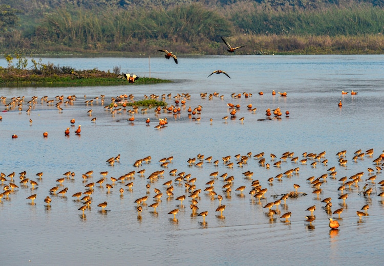
Over 384 surface structures were built to hold 398 million cubic metres (MCM) of capacity, alongside 1,639 recharge structures to replenish the aquifers. This was achieved by building bunds, check dams, and artificial ponds, all designed to slow down flash floods, allow water to percolate and recharge underground water tables, halt runoff, reverse salinity ingress in local wells, and provide the community with water security aimed at meeting water demands until 2041.
The water budget plan was designed to increase water availability from -175.35 to 45.81 MCM. Kaka pioneered the conservation of the Banni Grassland along with the Maldhari chieftains, so he had confidence in river conservation. As a proponent of Schumacher's theories, Kaka invited Dr. E. F. Schumacher’s team to collaborate with the Vivekananda Research and Training Institute (VRTI) on numerous projects in India for developing localised community programmes.
URBAN ENCROACHMENT OF WETLANDS
India's challenge is to steer from an economic model of "exploitation-first" to an integrated, eco-centric approach. Urban development ignores natural wetlands, lakes, floodplains, grasslands, and fallow lands, often misclassified as "wastelands" to be encroached upon. Wetlands that are vital for urban flood mitigation, groundwater recharge, and hosting migratory birds are reclaimed, exposing cities to urban flooding during monsoons and acute water scarcity during summers.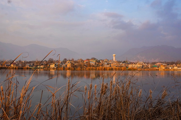
As a signatory to the Paris Agreement and Sustainable Development Goal (SDG) 11, India participates in the City Investments to Innovate, Integrate and Sustain (CITIIS) program—a joint initiative with Agence Franaise de Development (AFD) and the European Union to build sustainable human settlements. While India is meant to apply CITIIS framework learnings to future development, it lacks accountability.
LOSING GRASSLANDS TO HARVEST GREEN ENERGY
The Nelia grasslands, spanning over 50,000 hectares near Mundra, in the same district as Banni, are among the finest dry grasslands and are home to the critically endangered Great Indian Bustard (GIB). They are officially tagged as "wasteland". Under the guise of promoting green energy, these lands have been handed over to a solar power company at no cost (with lucrative tax rebates), threatening the very biodiversity they claim to protect.
The Shokaliya grasslands in Ajmer, Rajasthan, a prime habitat, have been overrun by invasive Prosopis juliflora following decades of aggressive tree-plantation drives, without engaging locals. Driven by an outdated forest policy that ignores grassland ecosystems, this degradation serves as a stark counterpoint to naive "tree-planting-as-conservation" theory, proving that blind afforestation can damage unique open ecosystems.
Ignoring local know-how, the afforestation of acacia in Wai, district Satara, has disrupted the delicate balance of Kaas meadows, recognised as UNESCO for miniature flora unique to the Western Ghats. Much like their northern counterparts, Deccan belts are legally classified as empty wastelands, making them targets for incentivised industrial use.
POLICY INTERVENTION, IT IS NOT TOO LATE
A much-needed first step is to reclassify "wasteland" categories within official revenue records. Misclassifying them as empty wastelands because they lack dense tree cover is a flawed perspective that has proven disastrous for open-country species like the Indian wolf, blackbuck, lesser florican, and especially GIBs.
Measures need to be taken by NITI Aayog and the Department of Land Resources to amend the Wasteland Atlas and revenue land-use categories to classify legally protected "grassland and pastureland ecosystem" and stop savanna, desert scrub, and floodplains from being lumped into a generic definition that developers exploit to lease and destroy.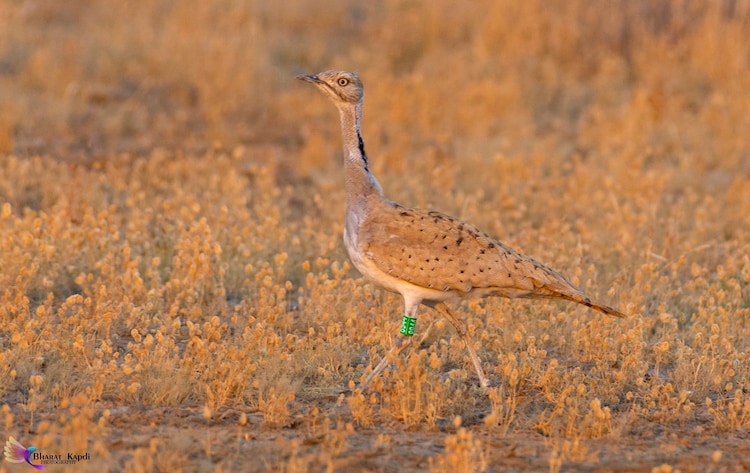
Taking a cue from the Supreme Court's landmark December 2025 ruling, which banned new wind turbines, solar projects over 2 MW, and renewable expansions in Rajasthan and Gujarat's priority conservation zones, this directive should be extended to the Banni and Rann of Kachchh regions to prevent further habitat fragmentation.
Beyond top-down restrictions, the state needs to institutionalise a “community-trusteeship” model as a formal, legally backed policy, moving away from relying on isolated philanthropic acts. The integrated, multi-stakeholder programme pioneered by Kaka for the Rukmavati River (now undertaken by VRTI and Agrocel Foundation) provides a genuinely replicable governance template that brings farmers, village panchayats, and industry under a single integrated authority.
By institutionalising the “community-trusteeship” model as a framework, the government can plan, execute, and sustain conservation programmes. This statutory framework will ensure programmes survive beyond individual philanthropy, while granting local communities the veto over future land reclassifications.
India must extend the accountability logic of programmes like CITIIS and SDG 11 to rural landscapes. Introducing a parallel "rural ecological accountability" reporting mechanism, one that is issued annually, fully transparent, and rigorously cross-checked across ministries, would effectively close this data gap and hold both public and private entities accountable for the preservation of India's open natural ecosystems.
(This is an authored article. The views expressed are those of the authors.)