
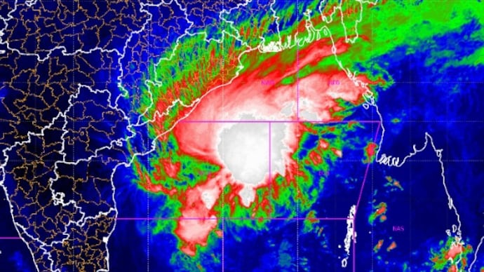
Three satellites track cyclone Akvan as Andhra braces for impact. See pics

Andhra Pradesh is strengthening its cyclone preparations as Akvan intensifies over the Bay of Bengal. Six coastal districts face a potential storm surge and flooding.
 Last UpdatedNov 18, 2026 11:24 IST
 Published by
Cyclone Akvan has intensified into a severe cyclonic storm over the Bay of Bengal, with Andhra Pradesh preparing for its arrival as the system moves closer to the eastern coast.
The India Meteorological Department (IMD) has forecast landfall around noon on November 20, warning of heavy rainfall, powerful winds and possible flooding in low-lying coastal areas.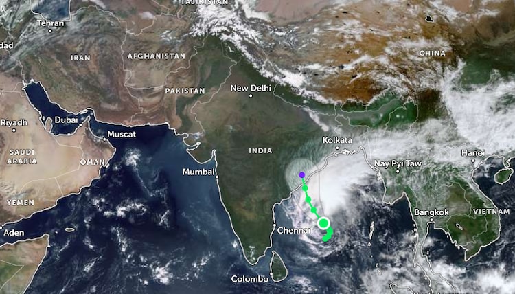
Three satellite views provide different perspectives on the approaching storm, its movement over the Bay of Bengal and the coastline likely to face its impact.
In its latest bulletin on November 18, the IMD said Akvan was moving north-northwestward at about 3 kmph. At 5:30 a.m., the storm was centered about 610 km southeast of Machilipatnam and 610 km south-southeast of Visakhapatnam.
WHEN WILL CYCLONE AKVAN ARRIVE?
The IMD expects Akvan to cross the Andhra Pradesh and Yanam coasts between Nellore and Visakhapatnam around noon on November 20, with the storm forecast to make landfall as a severe cyclonic storm.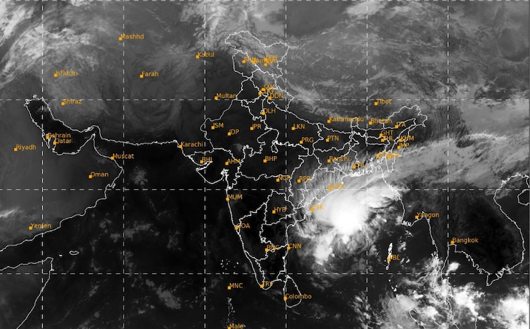
The IMD’s latest forecast summary puts maximum sustained wind speeds at 100-110 kmph, with gusts reaching 120 kmph; the coastal warning, however, indicates that winds could reach 120-130 kmph, gusting to 145 kmph, from the night of November 19 until landfall.
Coastal Andhra Pradesh and Yanam are likely to receive heavy to very heavy rainfall on November 19 and 20, with isolated extremely heavy rainfall.
The IMD has also warned of a storm surge of 1-2 metres above the normal tide, which could inundate low-lying areas of Prakasam, Bapatla, Krishna, West Godavari, Konaseema and Kakinada districts.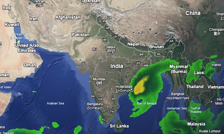
ANDHRA PRADESH RUSHES TO PREPARE FOR AKVAN
Andhra Pradesh's Chief Minister N Chandrababu Naidu has directed district administrations to strengthen preparations, including positioning National Disaster Response Force (NDRF) and State Disaster Response Force teams in vulnerable areas.
Officials have also been asked to keep electricity restoration crews ready and ensure adequate stocks of poles, transformers and conductors to deal with possible power disruptions.
The state is monitoring 30,808 registered fishing boats along its 1,053-km coastline, while authorities are working to bring remaining vessels ashore. More than 1.08 lakh voice alerts have also been issued across fishing communities.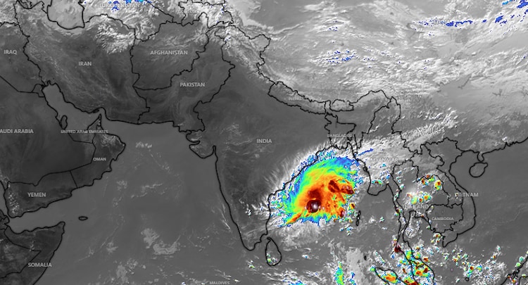
Farmers have been advised to harvest mature crops early and clear drainage channels to minimise waterlogging and crop damage.
The IMD has also urged fishermen not to venture into the Bay of Bengal until conditions improve, as sea conditions are expected to become extremely rough to phenomenal near the Andhra Pradesh coast ahead of landfall.
The coast in bracing for what will be the third cyclone in barely a month.