
India looks rain-free from space. But a weather twist is building in Bay of Bengal

Large parts of India are seeing clear skies, but the southwest monsoon has not formally withdrawn and another Bay of Bengal system is brewing. Here's what's ahead.
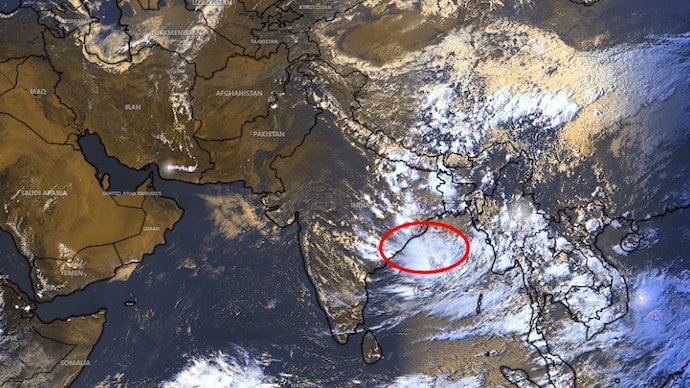

Large parts of the country are seeing a rather unwelcome lull from the widespread cloud cover and rain that have dominated the weather in recent days.
The lull was well-illustrated by a satellite image that showed 80-90% regions of India without cloud-cover. That has also been felt on the ground as most places across India have been without widespread rain in the past few days.
But the clear skies do not mean the southwest monsoon has formally withdrawn from the country yet.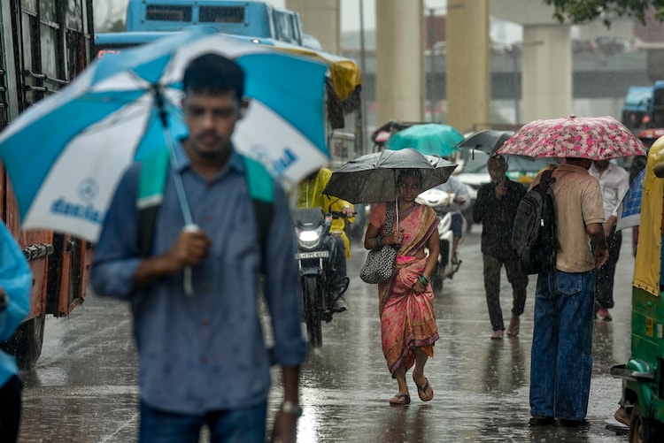
BAY OF BENGAL TO BRING BACK RAIN?
The latest IMD forecasts have pointed to an upper-air cyclonic circulation that persists over the north Andaman Sea and adjoining areas at about 5.8 km above mean sea level.
Under its influence, a low pressure area is likely to form over the central and northwest Bay of Bengal. The weather system will also cover adjoining areas off the north Andhra Pradesh and south Odisha coasts around September 11.
The IMD has forecast heavy rainfall over Odisha on September 9, with very heavy rain likely on September 10 and heavy rain again on September 11 and 12.
Gangetic West Bengal is also expected to see heavy rain on September 9, along with thunderstorms and lightning on September 9 and 10.
The weather system could subsequently influence rainfall over neighbouring parts of central India and the east coast.
The brewing weather system is clearly working to bring another spell of rain to parts of eastern and central India, bringing a final spell of rain and storms before the southwest monsoon begins to withdraw.
CLEAR SKIES BUT MONSOON STILL PRESENT
The withdrawal, however, is not just a term to be thrown around, and instead comes with a set of criteria.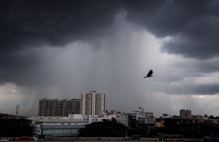
According to the India Meteorological Department (IMD), monsoon withdrawal is not declared simply because rainfall decreases or skies turn clearer.
For withdrawal from northwest India, the IMD looks for several conditions to be met together.
These include the cessation of rainfall for five consecutive days, the establishment of an anticyclonic circulation in the lower levels of the atmosphere and a significant reduction in moisture.
Further withdrawal also requires these conditions to show spatial continuity.
In simpler words, the current spell of clear skies and sunny days should not be read as the end of the monsoon.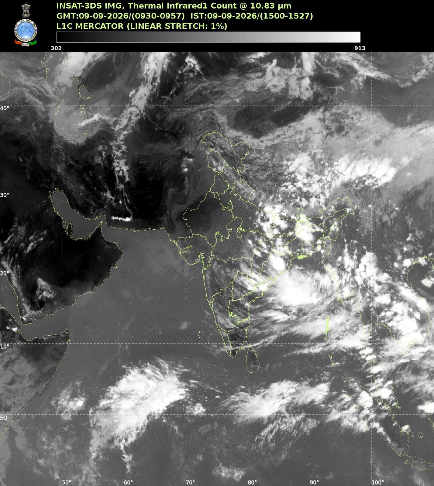
The IMD will formally announce withdrawal only when its prescribed criteria are satisfied.
And while one part of the country is getting a break from rain, the atmosphere over the Bay of Bengal is already showing signs of renewed activity.
So, while satellite imagery may currently show a remarkably cloud-free India, the monsoon remains very much active in the broader weather pattern.
The coming days will determine whether the current dry-looking conditions persist or give way to another round of rain as the Bay of Bengal system works its magic.